Chat Group
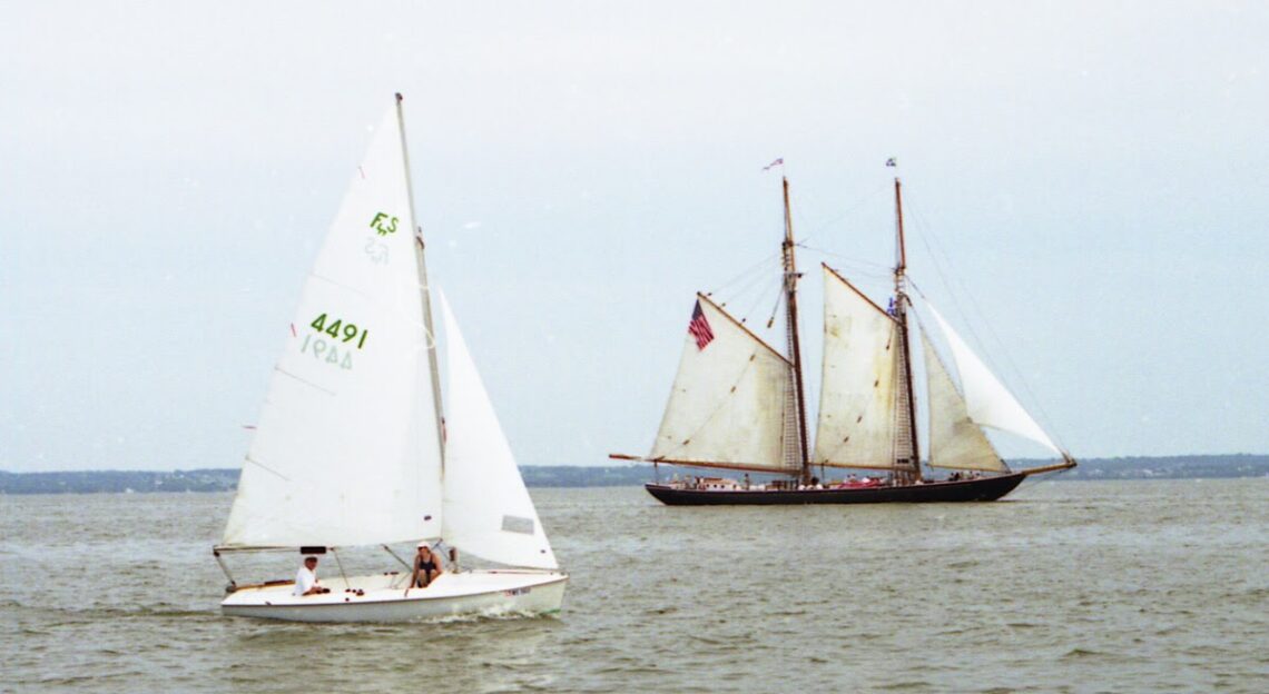
Racing
Local Race Results from Lightning Fleet 112, Tuesday Night Races and Weekend Races from the area.
Entertainment
If you can't go sailing at least you can watch sailing. Share what you enjoy with others.
Pump House Improvements
As part of the Gazebo project, we are looking at improving the appearance of the adjacent pump house.
Water Levels
Reports and forecast created by the US Army Corps of Engineers, Detroit District Great Lakes Water Management.
Water levels for the previous year and the current year to date are shown as a solid line on the hydrographs. A projection for the next six months is given as a dashed line. This projection is based on the present condition of the lake basin and anticipated future weather. The shaded area shows a range of possible levels over the next six months dependent upon weather variations. Current and projected levels (solid and dashed lines) can be compared with the 1918-2023 average levels (dotted line) and extreme levels (shown as bars with their year of occurrence). The legend below further identifies the information on the hydrographs.
The levels on the hydrographs are shown in both feet and meters above (+) or below (-) Chart Datum. Chart Datum, also known as Low Water Datum, is a reference plane on each lake to which water depth and Federal navigation improvement depths on navigation charts are referred.
All elevations and plots shown in the bulletin are referenced to International Great Lakes Datum 1985 (IGLD 1985). IGLD 1985 has its zero base at Rimouski, Quebec near the mouth of the St. Lawrence River (approximate sea level).